Onze website gebruikt cookies om orders te plaatsen en optimaal te functioneren. Hiervoor vragen we je om akkoord te gaan met ons gebruik van cookies.

Ik ga akkoord met de cookies liever niet.
terug naar overzicht

BAERT-DUHOLANT, Charles-Alexandre-Balthazar-François de Paule

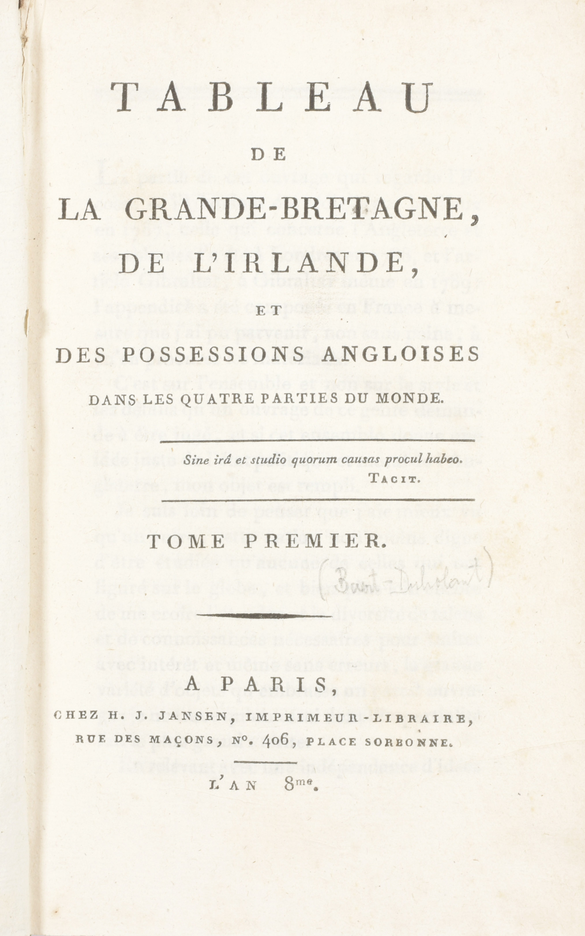
Tableau de la Grande-Bretagne, de L'Irlande et des possessions Angloises dans les quatre parties du monde
Paris
H.J. Jansen
[1800]
€280 - €360

"4 vol. in-8vo, complete with 4 folding maps by J.-D. Barbier de Bocage (England, Scotland, Ireland, India), a folding plan of Gibraltar, 3 views incl. Fingal's Cave on the uninhabited island of Staffa, Giant's Causeway located in County Antrim on the north coast of Northern Ireland and Gibraltar, the 2 portraits engr. by A.J. Hulk of William Pitt (after William Owen) and Charles Jacques Fox (after K.A. Heckel), a folding plate ""Combat de boxers à Odiham"" and 14 folded tables. Contemp. half calf, mottled paper covers, corners bumped"