Our website uses cookies to improve your browsing experience. In order to use this website optimally, we ask you to agree to our use of cookies.

I agree to the use of cookies. I don't agree to the use of cookies..
back to overview

BAERT-DUHOLANT, Charles-Alexandre-Balthazar-François de Paule

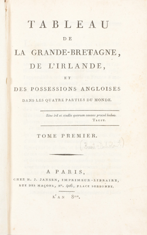
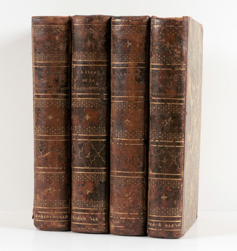
Tableau de la Grande-Bretagne, de L'Irlande et des possessions Angloises dans les quatre parties du monde
Paris
H.J. Jansen
[1800]
€280 - €360

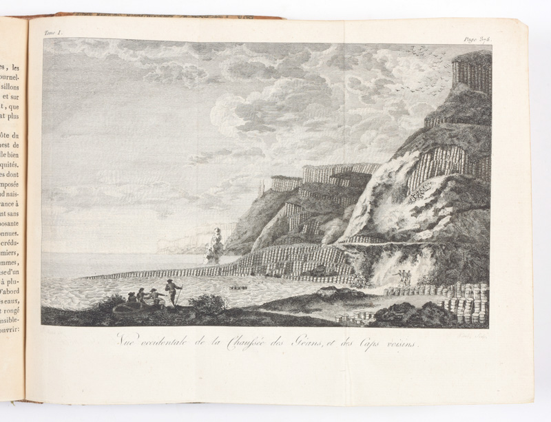
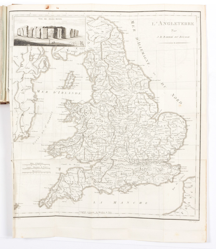
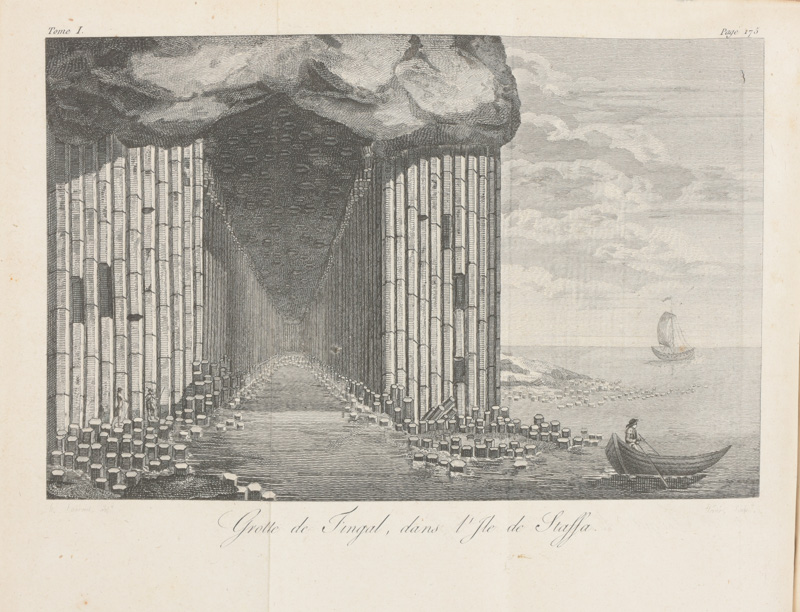
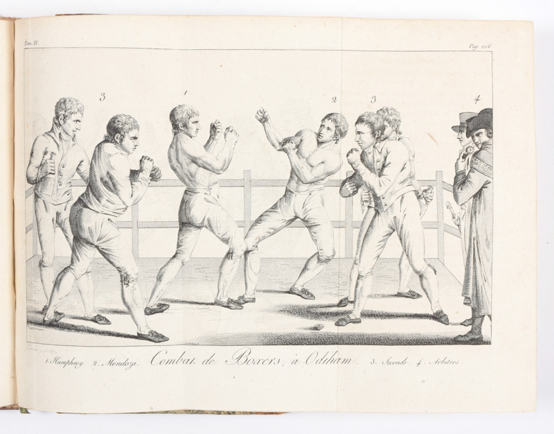
"4 vol. in-8vo, complete with 4 folding maps by J.-D. Barbier de Bocage (England, Scotland, Ireland, India), a folding plan of Gibraltar, 3 views incl. Fingal's Cave on the uninhabited island of Staffa, Giant's Causeway located in County Antrim on the north coast of Northern Ireland and Gibraltar, the 2 portraits engr. by A.J. Hulk of William Pitt (after William Owen) and Charles Jacques Fox (after K.A. Heckel), a folding plate ""Combat de boxers à Odiham"" and 14 folded tables. Contemp. half calf, mottled paper covers, corners bumped"