Our website uses cookies to improve your browsing experience. In order to use this website optimally, we ask you to agree to our use of cookies.
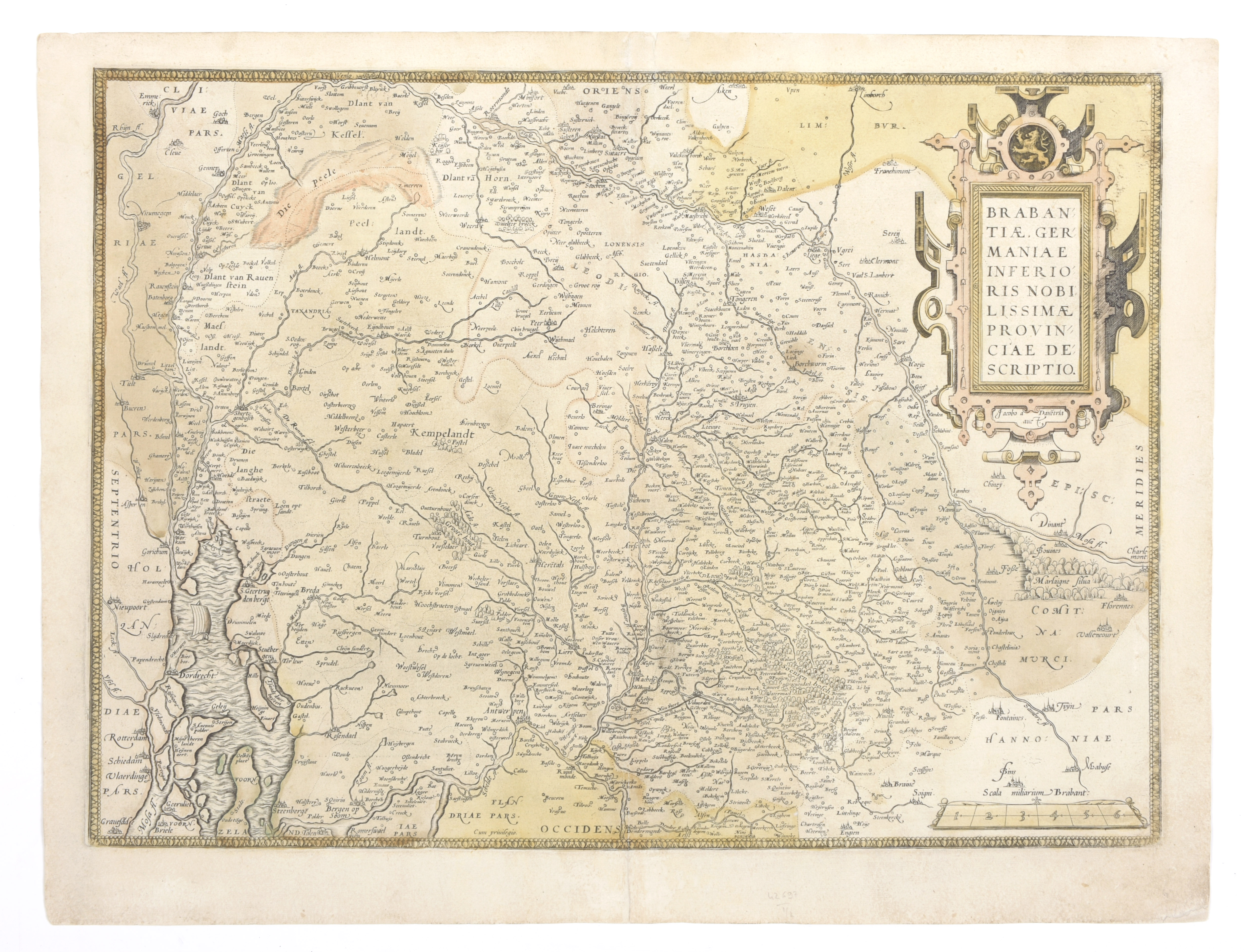
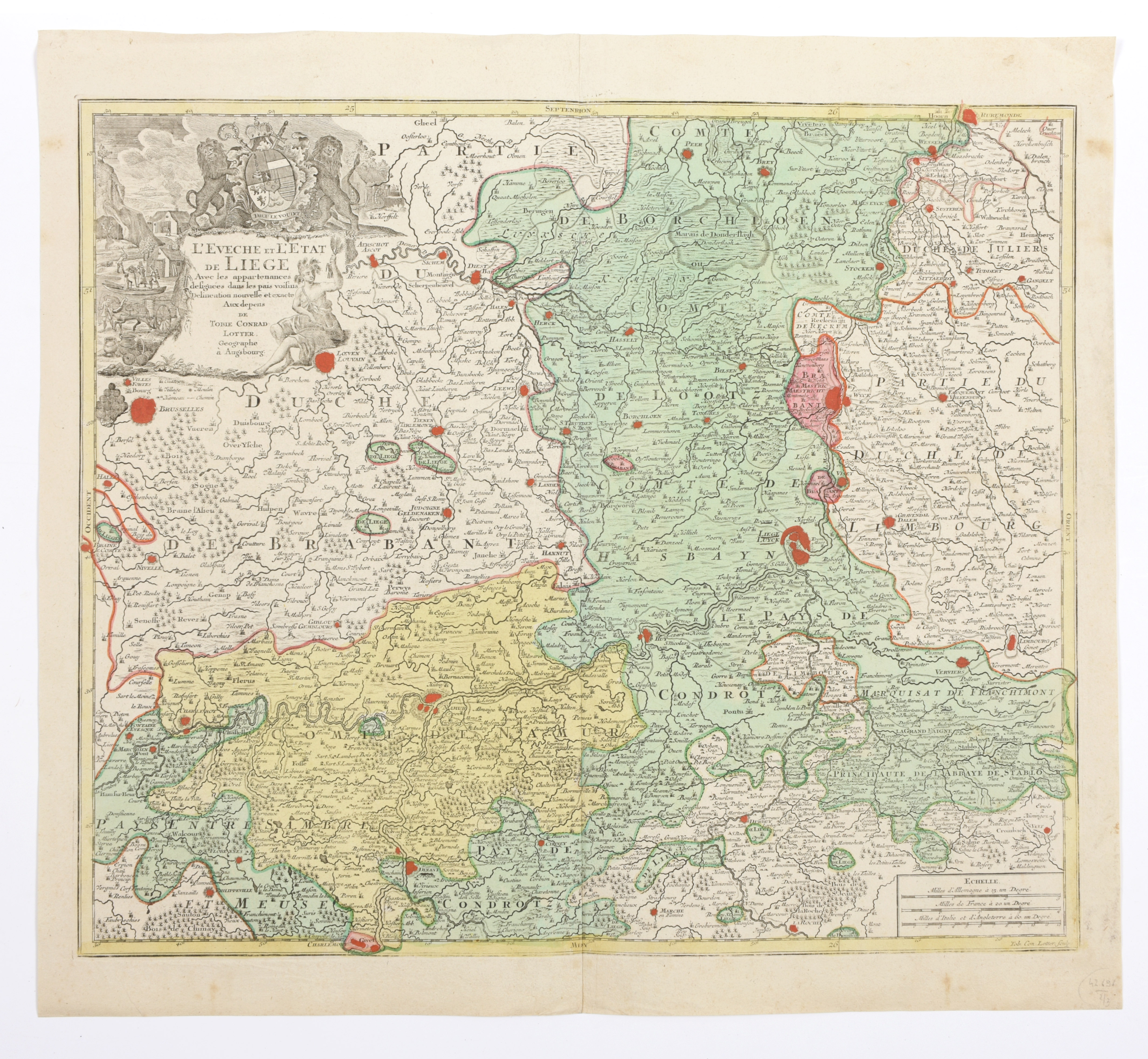
Brabantiae, germaniae inferioris nobilissimae provinciae descriptio

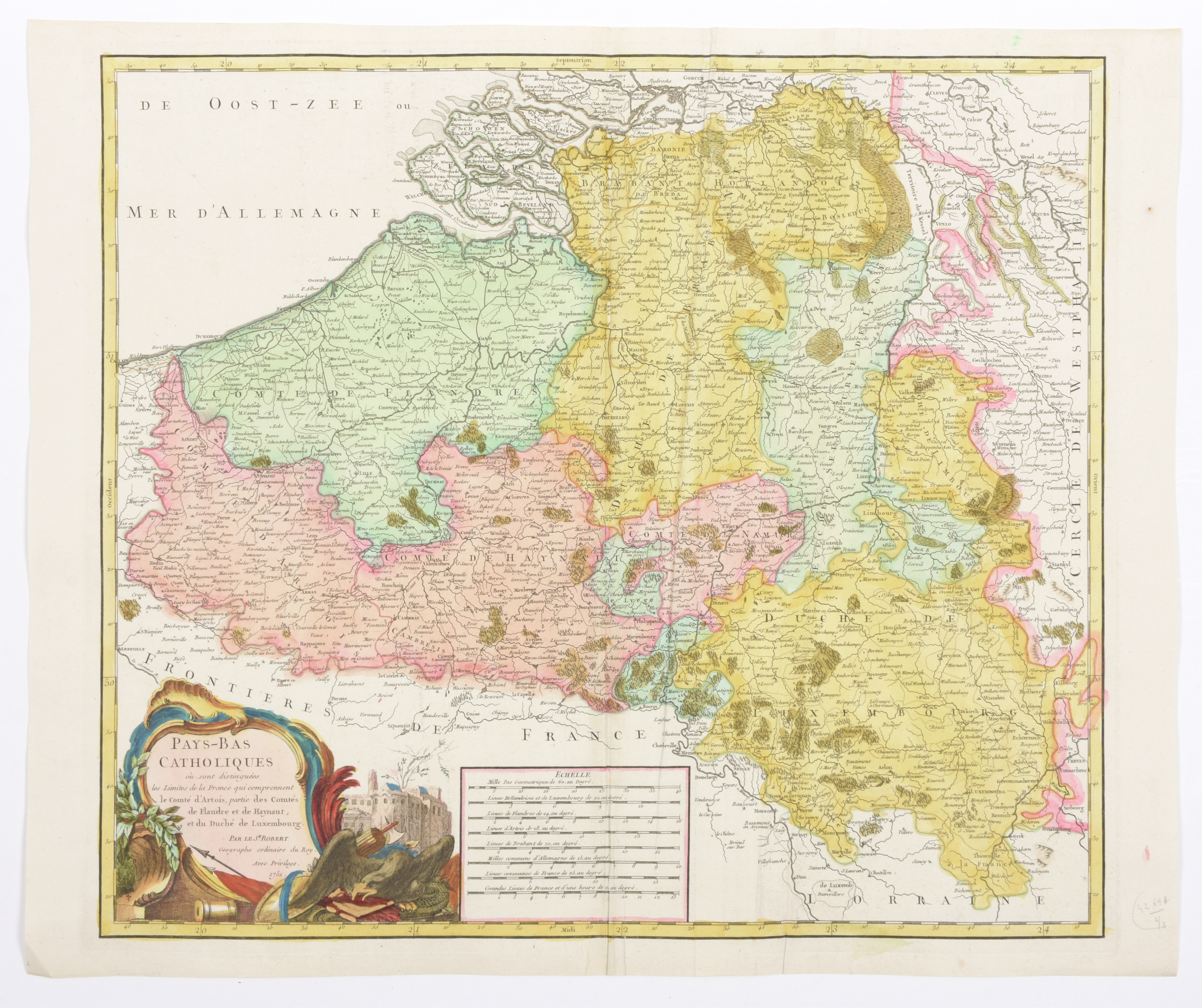
Handgekleurde kaart (37 x 51 cm) van J. Van Deventer uit atlas van Ortelius, Antwerpen, ca. 1570. Bijgevoegd: 'Pays-Bas catholiques'. Kaart 49.5 x 56 cm met hand gekleurd en goudgehoogd. Paris, Robert, 1751 (2)