Our website uses cookies to improve your browsing experience. In order to use this website optimally, we ask you to agree to our use of cookies.
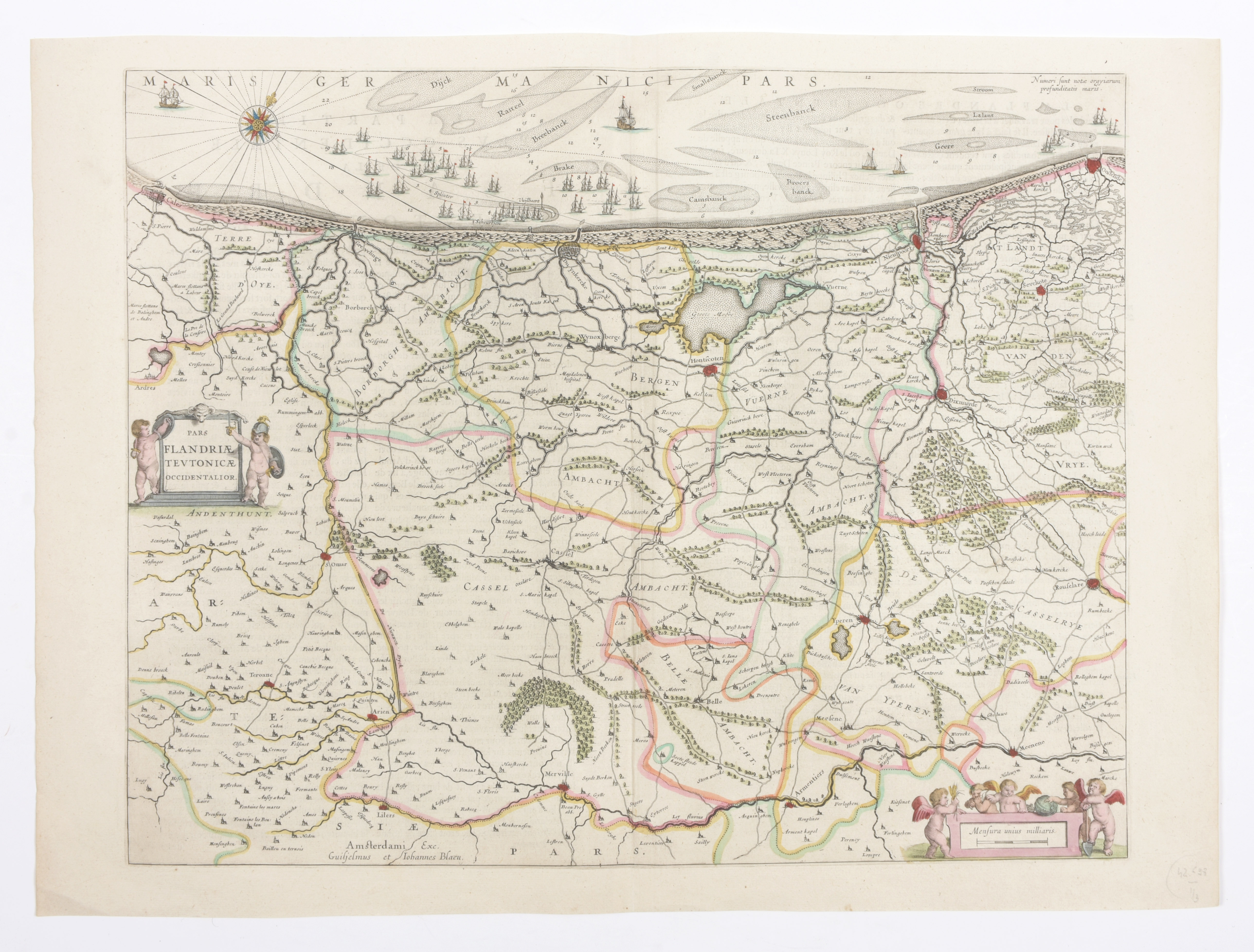
Pars Flandriae Teutonicae Occidentalior

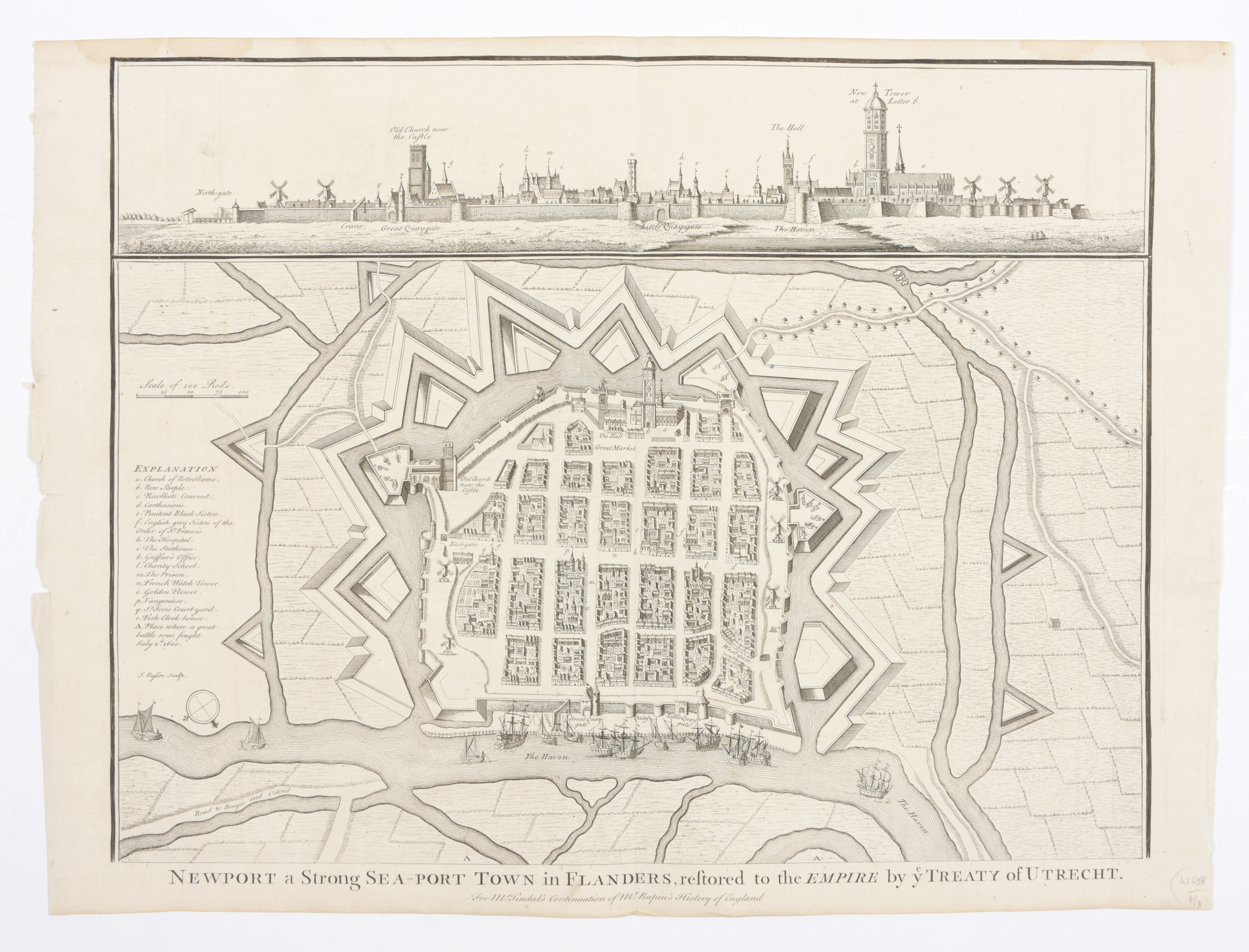
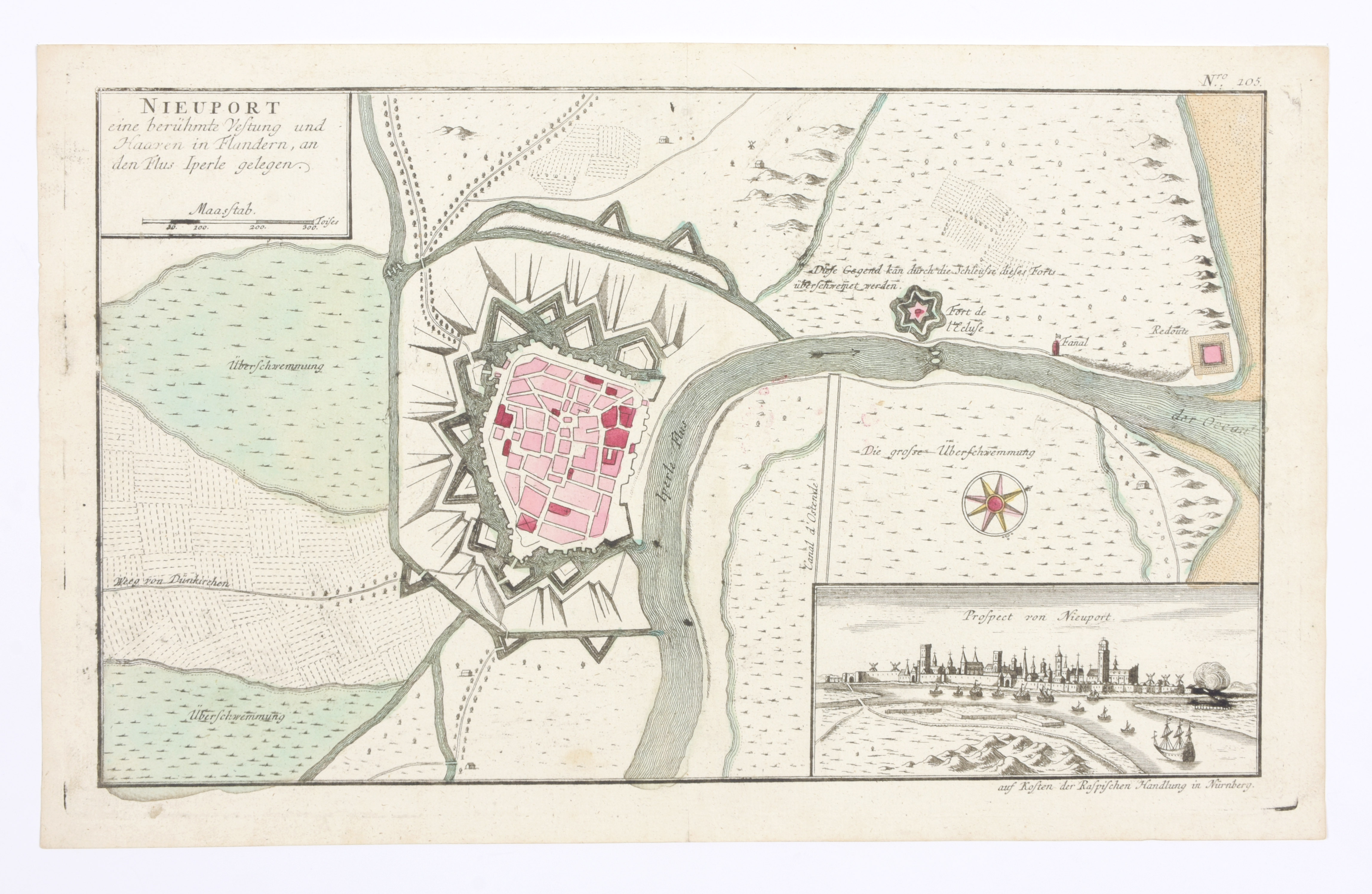
Kaart (40 x 50 cm), handgekl. in de tijd. A'dam, Blaeu, ca. 1650. Bijgevoegd: 'Nieuport eine berümte vestung and Haaven in Flandern', kopergrav. (23 x 38 cm) met hand gekleurd in de tijd, inzetje met panorama stad. Augsburg, ca. 1740 + 'Newport a Strong Sea-Port Town in Flanders', stadsplattegrond en panorama (39 x 49 cm) uit History of England van Rapin's (ca. 1745) (3)